
Distance
11km
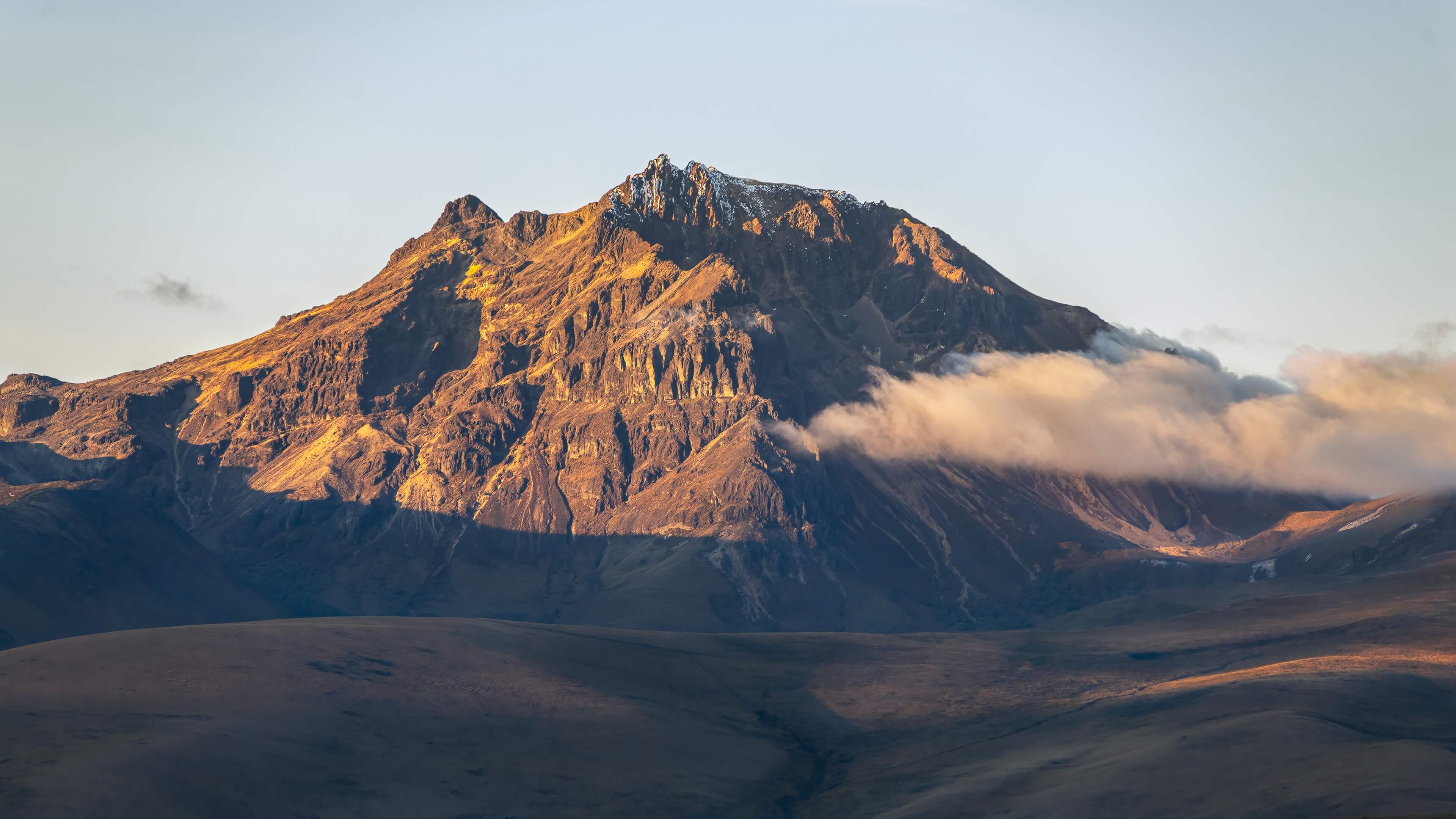

The ascent to the maximum summit of Sincholagua is a great challenge of high mountain. It can be done throughout the year and, generally, the expedition is completed in a single day, with the appropriate preparation and mountain equipment.
11km
7-10 Hours
Medium-High
4.873 m.s.n.m
3.960 m.s.n.m
Ascents #1
The first ascent of Sincholagua was recorded on February 23, 1880 by Edward Whymper and the brothers Jean-Antoine Carrel and Louis Carrel (Whymper, 1892).
From Cotopaxi National Park, you can appreciate and visit the Sincholagua volcano. Additionally, this protected area features camping zones, trails, and other tourist attractions.

Known in Spanish as «La Ruta del Condor», it is a 2-4 day route that crosses moors, rivers and Polylepis forests on a journey between Cayambe National Park and the amazing volcanoes Antisana, Cotopaxi and Sincholagua.
The Condor Trek is a world-renowned trek and an ideal destination for acclimatization.
Pucará de Salitre is an archaeological site of pre-Columbian remains, found between the Pita River and the Pucará ravine, north of the Cotopaxi National Park and from where you can also get a privileged view of Sincholagua volcano.
In the surroundings of the Sincholagua volcano, there are MTB & Gravel cycling routes and circuits that traverse the Andean landscapes in the Cotopaxi National Park area.
Tour options that allow you to visit and observe the Sincholagua Volcano, in the Andes of Ecuador.
This page contains affiliate links. If you purchase through them in accordance with the affiliate program requirements, we may receive a commission.


